Hong Kong Grapples with Severe Flooding as Red Rainstorm Warning Issued

On a tempestuous Saturday morning, Hong Kong found itself under a significant meteorological threat, as the local Observatory issued the year's first red rainstorm warning. This alert, signaling a severe rainstorm with over 50 millimeters of rainfall, underscores a critical moment for the region grappling with widespread flooding.
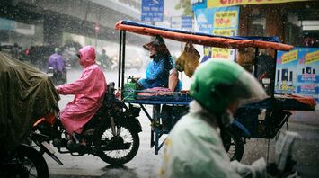
The consequences of this heavy downpour were immediately evident. By mid-morning, numerous roads were shut and public transportation systems, including buses in Tseung Kwan O and a public car park in Lohas Park, experienced major disruptions. The Saikung district alone recorded about 140 millimeters of rain in just over an hour, a testament to the storm's intensity.
The Observatory attributes this severe weather to an upper air disturbance that continues to foster thundery showers over Hong Kong. Predictions suggest that eastern parts of the territory will continue to face severe rainstorms, posing ongoing risks to the area.
The impact on daily life has been profound. All school classes were suspended, and certain health services were curtailed in the most affected areas. The event not only disrupts daily routines but also raises concerns about the broader implications of such frequent and intense weather events, likely fueled by the ongoing El Niño phenomenon.
El Niño's effect is not localized to Hong Kong. This climate pattern, known for causing global weather disruptions, has been linked to various extreme weather conditions across Southern China and Southeast Asia. Its influence is evident from the unprecedented rainfalls in regions like Guangdong and the resultant advice for residents to stay indoors due to flooded streets.


